
Skip to content
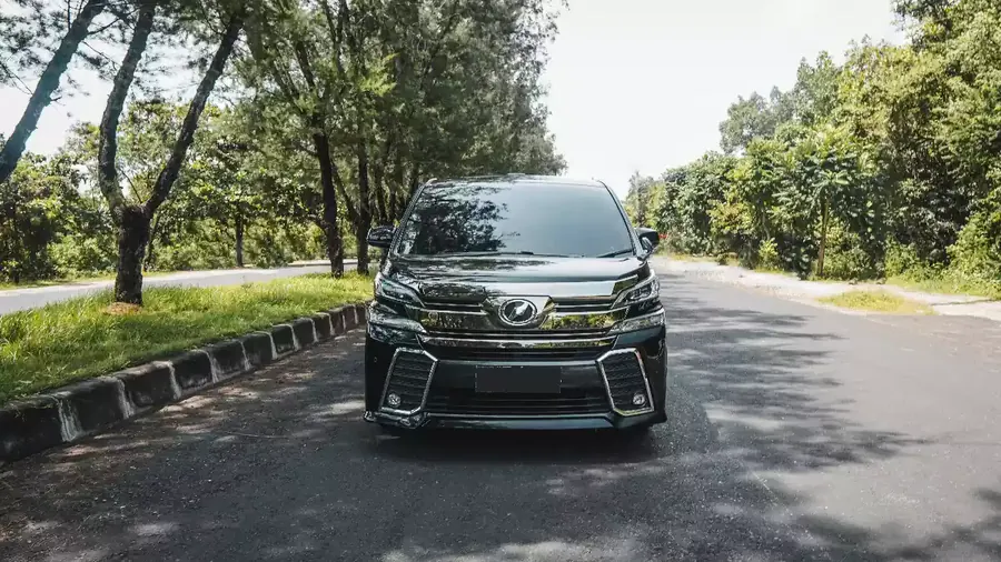
Black Toyota Vellfire photographed head-on on an open tree-lined road

Planning · the roads

Bali traffic: why 35 kilometres takes ninety minutes

Distances here tell you almost nothing. Real drive times, the windows that ruin a schedule, and the one kind of closure no navigation app will ever warn you about.

In short

Bali has around 4.2 million registered vehicles on a road network built for a fraction of them, and almost none of it is dual carriageway. Seminyak to Ubud is 35 kilometres and takes ninety minutes or more — so every itinerary on this island is really a timetable, not a map.

  • Peak is roughly 07:00–09:00 and 16:00–19:00, worst on the airport side
  • A temple ceremony can close a main junction for two to three hours
  • Google's estimate is optimistic on every route north of Ubud

Real numbers

How long it actually takes

Door to door, in a car, on a normal day. Ceremony closures and heavy rain sit outside these figures entirely.

The mountain routes have no meaningful peak — they are slow all day, because they are narrow and they climb. The southern routes are the ones that double. Sunset Road between about 16:00 and 18:00 is the worst single stretch on the island: it can add 45 minutes to a ten-minute journey.
Route Off-peak At peak
DPS airport → Seminyak or Canggu 45 min 75 min
DPS airport → Ubud (35 km) 60 min 90 min +
Seminyak → Ubud (35 km) 75 min 90 min +
Seminyak → Uluwatu (20 km) 45 min 70 min
Jimbaran → DPS airport (8–10 km) 15 min 30 min
Ubud → Kintamani (40 km) 90 min
Ubud → Munduk (60 km) 2 hrs
Pemuteran → DPS airport (120–140 km) 3 hrs 4 hrs

What actually delays you

Four things no navigation app knows

Congestion is the predictable part. These are the parts that are not.

Ceremonies close roads without warning

There are more than twenty thousand temples on the island, and an upacara can shut a main junction for two to three hours with no notice and no detour signs. Nothing digital sees it coming. Local drivers hear about it the day before.
The road narrows without telling you

A four-lane bypass gives way to a gang — an alley where wing mirrors fold in — and that alley is often the only viable shortcut. Knowing which ones take a large van is not something a map records.

Villa access roads are steeper than they look

Some clifftop approaches in Uluwatu run past fifteen degrees. A large vehicle can make them; whether it makes them comfortably, loaded, in the wet, is a judgement call somebody has to have made before.

Rain rewrites the afternoon

A downpour empties Tegalalang and fills every road out of Ubud at once. This is where a driver who can name a covered alternative fifteen minutes away — the Setia Darma mask and puppet house, say — saves the day rather than the journey.

Practical questions

Five straight answers

Send us the route

Tell us where you are going and at what time, and you get an honest drive time back — including when the answer is that it will not fit.

A realistic answer is free, whether or not you book the car.